TIRAMISU presented at the European Space Solutions Conference
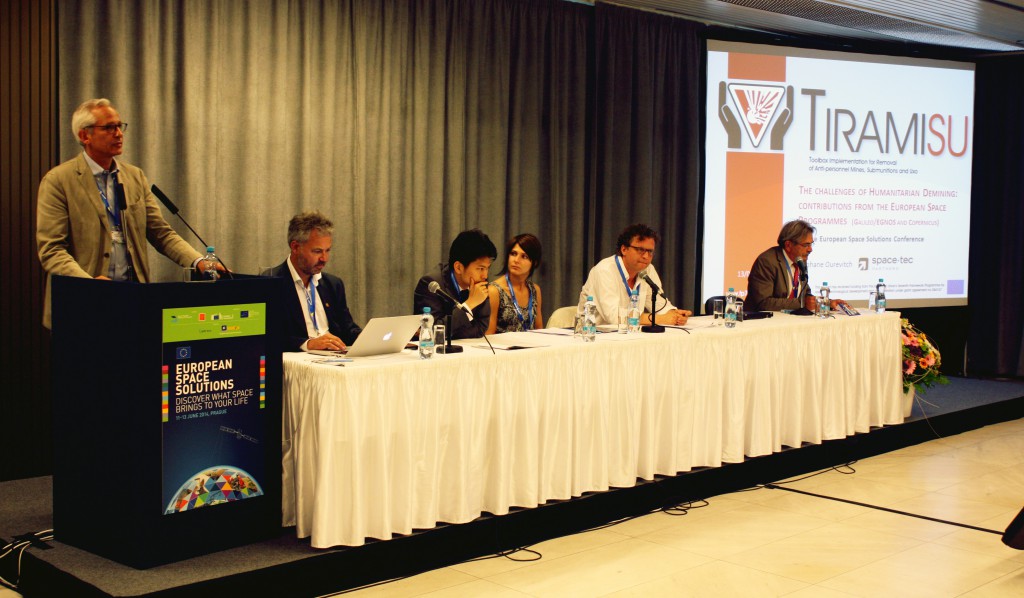
TIRAMISU project representatives participated in the European Space Solutions conference, which took place between the 11th and 14th of June 2014 at the Prague Conference Centre in the Czech Capital, in order to present the contribution of the European Space Programmes (Copernicus, the European Earth Observation programme and Galileo/EGNOS the EU Satellite Navigation programmes) to Humanitarian Demining activities.
The annual three-day event, organised by the European Commission and GSA, the European GNSS Agency (http://www.gsa.europa.eu/) is designed to bring together stakeholders from the private and public sectors with users and developers of Space-based solutions. An estimated 600 participants had the opportunity to learn how Space-related technological developments and improved capabilities are helping stakeholders to streamline their operations in a number of areas.
Stéphane Ourevitch from SpaceTec Partners, one of the TIRAMISU consortium members, explained how Space-related applications will be improving the efficiency of Mine Action activities through a range of novel and innovative techniques. These capabilities include surveys that use a combination of remote sensing, contextual data, expert knowledge and analyses from Geographic Information Systems (GIS) to detect indicators of mine presence and define Suspected Hazardous Areas (SHAs). These will benefit from the availability of free and open data from the EU Sentinel satellites (Synthetic Aperture Radar and multi-spectral).
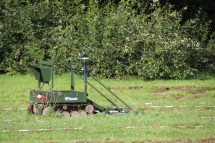
Other capabilities such as the detection of explosive devices using ground-penetrating radars and chemical sensors (ground-based close-in detection) or remotely controlled vehicles (stand-off detection), will benefit from the better accuracy and integrity made available by the Galileo/EGNOS signals.
The presentation also provided a good example of the tangible benefits of Copernicus services that could have materialised during rescue operations after Bosnia-Herzegovina was hit by flooding in 2014 together with a large part of the Balkans. The delineation of the flooded areas, as produced by the Copernicus EMS-Mapping (Emergency Management Service) could have been correlated with GIS layers containing information related to mine action, thus enabling first responders to identify areas where mine risk was augmented by flooding or landslides while Mine Action Centres would be in a better position to prioritise urgent recovery activities.
For more information: www.european-space-solutions.eu


